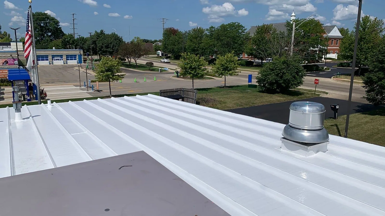
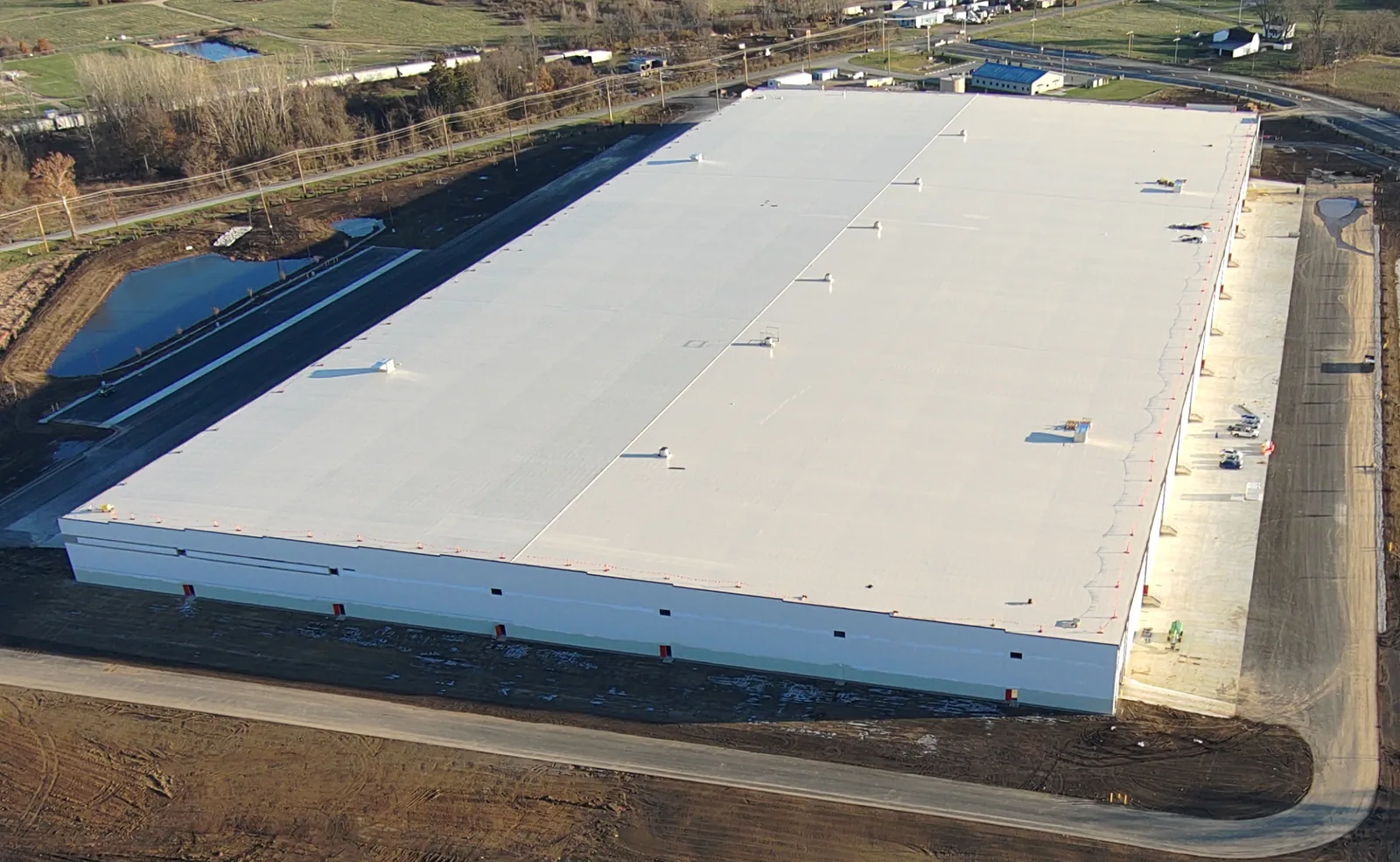
From above, roof sections, mechanical clusters and perimeter lines can be arranged into a view that is difficult to assemble from a ladder. We capture and label those surfaces so the property manager can locate broad patterns and plan a close-up check. Cary, NC properties include office, retail, hospitality, restaurant, flex-industrial and industrial uses, and each has its own roof plan. Where several industrial buildings sit together, as in Woodlake Industrial Center, a mapped overview helps keep each roof section distinct; active offices near Weston Parkway need imaging coordinated with occupants and equipment. Aerial photographs show visible conditions, while seams, flashings and concealed layers still require field confirmation.
Before imaging, we identify roof sections, access limits, nearby obstructions and any operational or airspace requirements that affect the flight. We set a capture path that makes each image locatable on a roof plan, then review the coverage for gaps around parapets, mechanical equipment and additions. Weather matters: glare, wind or rain can reduce the usefulness of a flight or make it unsafe. A planned flight still requires property coordination, a clear takeoff area and review of any conditions that limit safe capture. We confirm site conditions, permissions and safety requirements before launch. If a building is occupied, the manager can help us keep people clear of the capture area while normal operations continue. We also plan how files will be named and handed off before the flight, particularly where a property has separate buildings or roof sections that look alike from above. Each image should point to a known map location, not simply carry a timestamp. The capture path may include overlapping views so a visible seam or water line can be compared from more than one angle. If a rooftop unit blocks the membrane below it, we note the blind area and schedule a closer inspection rather than imply the image covers it. This preparation makes the final set useful to the manager, maintenance staff and any trade that needs to return to the same roof location.
Images can show broad membrane discoloration, debris lines, water patterns, loose materials and changes between roof sections. We compare those shapes with the roof plan and elevation, looking for patterns that guide a closer examination. A dark area in a photograph is not automatically wet insulation, and a smooth surface does not confirm a sound seam. The camera records what is visible from above; it cannot show the substrate below the membrane or prove that a termination is bonded. We mark candidate zones for a safe walk, probe or test opening, then record the result beside the original image. For a drainage question, we compare the low point and apparent outlet path with a drain and scupper inspection rather than inferring slope from a single frame. A sequence of overlapping images can show whether a surface pattern continues across a section or ends at a transition. We check for shadows and reflections that can resemble ponding, and compare image angle with roof slope before marking a drainage concern. Granule loss, coating wear and membrane discoloration can also look different depending on sun and camera position. For that reason, image review stays tied to the roof plan and a follow-up inspection. The manager receives a clear label such as “review this seam in person” rather than an unsupported statement about what lies beneath it. If the observation concerns a wall edge or parapet, we may need a ground or roof-level view of the termination before identifying the repair approach.
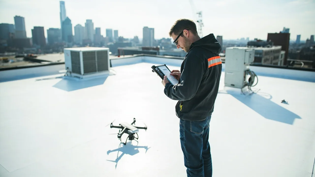
A drone can be useful where a property has multiple roof sections, equipment clusters or restricted walking routes. It can also establish a visual baseline for future comparison after repairs or maintenance. We label images by building and roof zone so an owner can distinguish one section from another. The flight is planned to compare visible sections, not infer what lies below the membrane. We note the angle, shadows, obstructions and portions not captured, then match any pattern with a close-up visit. At Park Overlook, mixed completed and planned development calls for confirming which structures are present before creating a map. We avoid treating a property description or an aerial image as evidence of an individual roof's age, material or condition.
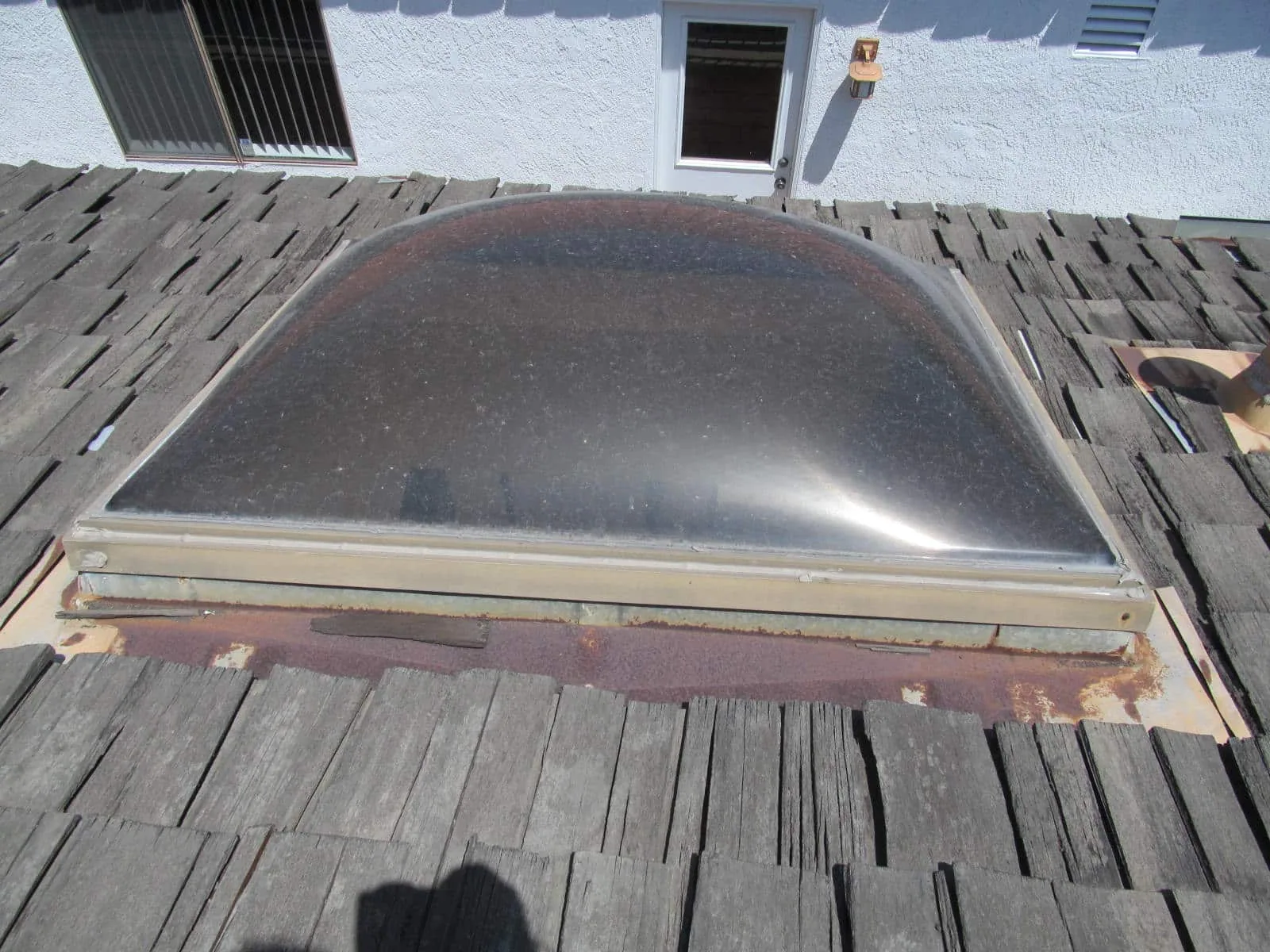
After flight review, we sort observations into areas to inspect closely, conditions that can be monitored and details that need repair evaluation. A suspected opening receives a safe hands-on check; a possible moisture pattern may lead to an infrared moisture survey or test cut when the assembly requires confirmation. The next method depends on surface temperature, weather, material and access, so one image does not decide a repair. A curb or seam can look intact at altitude while a probe reveals a loose lap. We include both the image and confirming observation in the report, then identify the repair boundary where work is warranted. For occupied properties near Fenton, the map can help coordinate access to a specific roof zone and avoid unnecessary disruption elsewhere. A hands-on follow-up is planned around the observation rather than applied uniformly to every part of the property. We choose which seams to probe, which drains to clear for inspection and where an opening would answer the moisture question. At a roof with limited access, the manager can use the map to confirm escort and equipment shutdown needs before the return visit. Where weather changed the surface between the flight and follow-up, we note that condition so the image is not treated as a current reading. The close-up visit can then document whether the apparent defect is open, bonded, wet or simply a visual variation, with photos that match the original aerial reference.
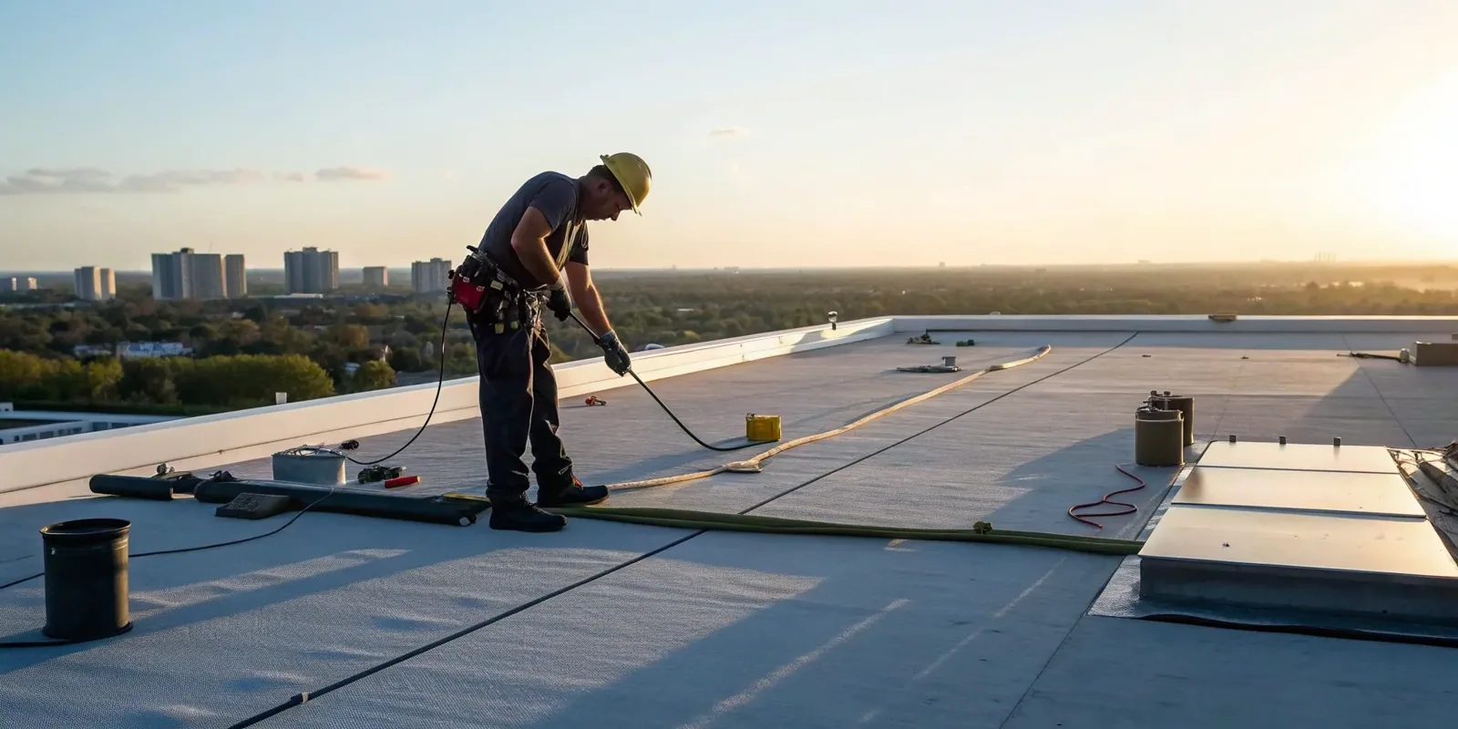
The manager receives organized images, a roof-zone reference, inspection observations and the recommended follow-up. We connect an image to a roof section and note any areas not captured or not safe to examine. That record can help a maintenance team compare the same location later, but it does not substitute for field verification. Cary's technology, information and life-sciences business strengths contribute to the local property mix; each facility still has its own roof assembly and service needs. If the flight shows a likely repair area, a hands-on commercial inspection can confirm the detail and substrate. Arrange drone imaging with Commercial Roofing Cary to establish a roof map, review visible conditions and decide where the crew should inspect next.
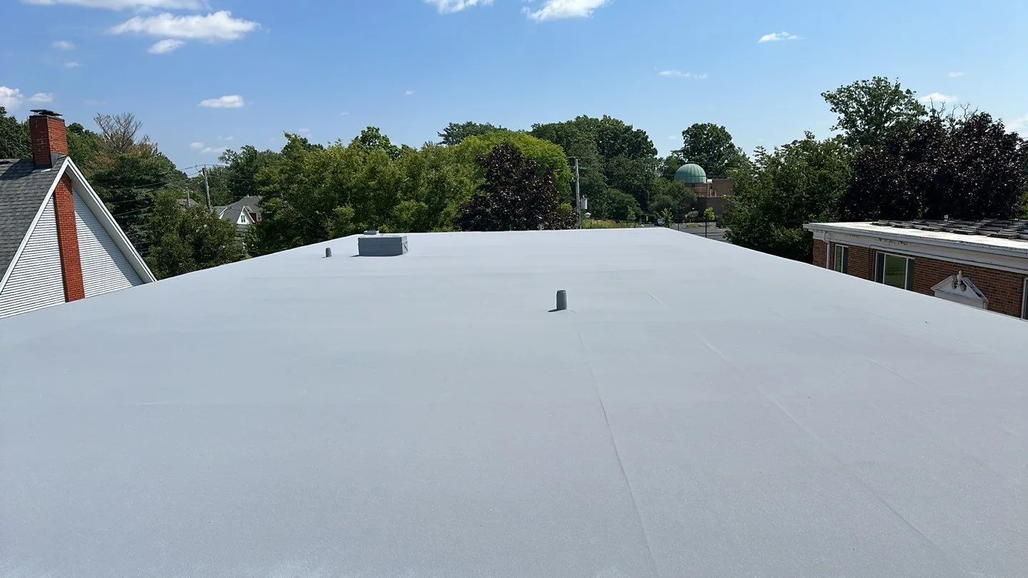
They can identify surface patterns that may guide testing, but a photograph cannot confirm moisture below a membrane. We use a test opening or another appropriate inspection method when the layer condition must be known.
Large sections, equipment clusters and limited walking access can make an aerial overview useful. We still plan close-up inspection for seams, flashings and any suspected defect that needs a repair decision.
The camera records visible surfaces within its capture limits. Parapet backs, concealed transitions and material bonds may need a hands-on inspection, and we identify image gaps in the final map.
Wind, rain, visibility, site access or airspace requirements can affect safety and image quality. We confirm those conditions before launch and coordinate a new window if the flight cannot produce usable coverage.
We map an observation to the roof zone, then inspect the suspected detail on site. The report separates what the image shows from what the close-up check confirms, and identifies a repair boundary when work is needed.
Arrange drone imaging with Commercial Roofing Cary. We will organize the roof zones and recommend the close-up checks needed to turn visible patterns into a useful scope.
Roof leaking now? Call for emergency roof repair.
Or email [email protected].